This is in the NW corner lot. It has some treed areas, mainly Juniper trees that do not grow very high. The NE portion of this lot is open. Access to this lot is easy, using the road to the north.
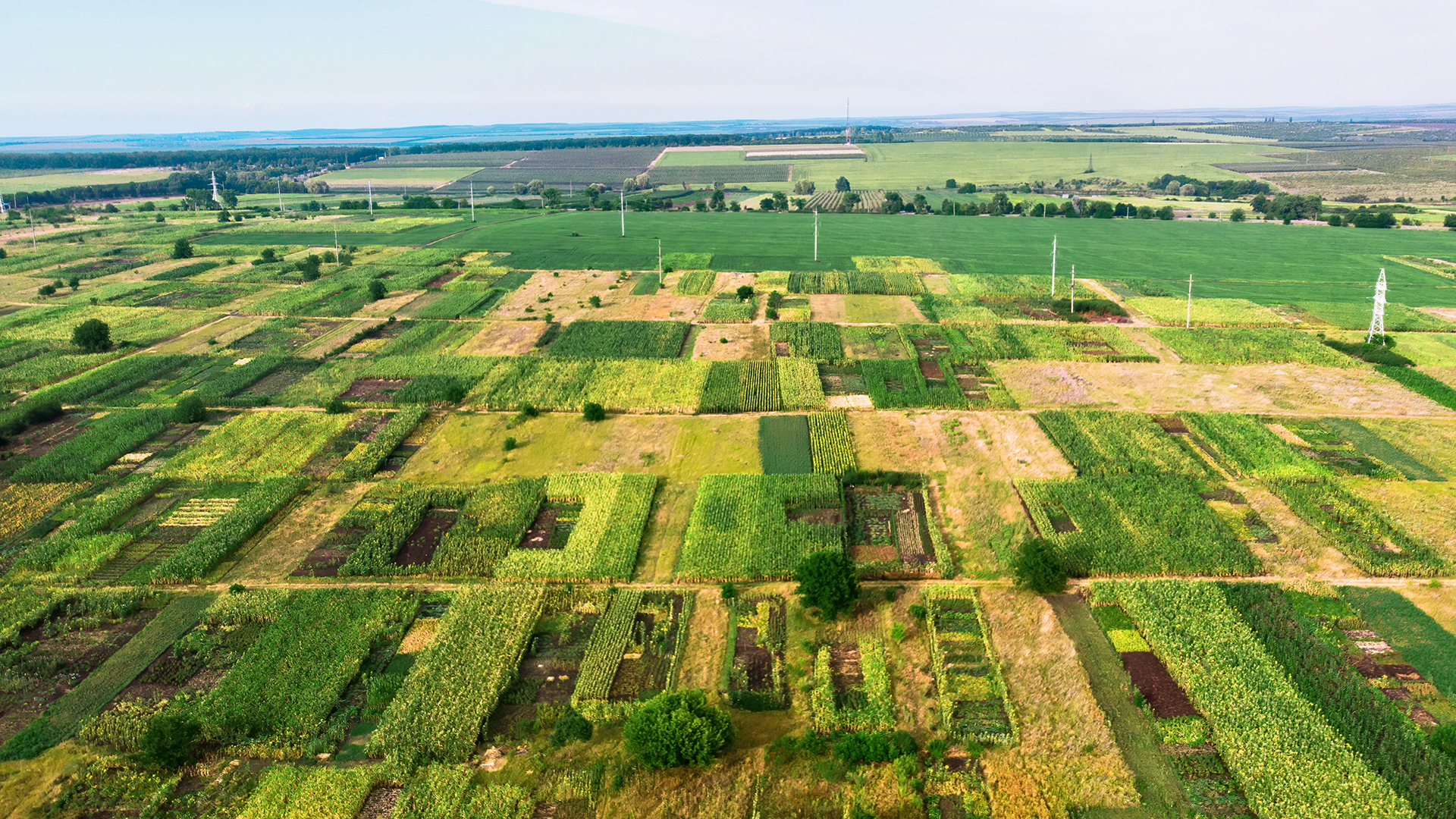
The land is fairly level with groves of trees and shrubs, and large areas of low-level vegetation, grassy areas, or no vegetation at all. There is a house to the southeast of the subject property, the top of the house can be seen from much of the subject property but not the rest of the house.
This property has been recently surveyed. When you visit, there should be flags placed on each of the corners to mark the boundaries of the lot. In wet weather, it might be challenging to travel in a 2-wheel drive. Even in good weather, 4-wheel drive is recommended but not required. Views are good with generally low horizons.
The land is zoned as Rural Residential. There is no time limit to build, so you can build right away or purchase now to build your dream home later. Site-built homes are allowed, as are modular, manufactured, and mobile homes. The land can be used recreationally. Camping in an RV is allowed for up to 10 days at a time and up to 30 days per year, with a minimum of thirty (30) day intervals between stays.
There is no POA. It snows here on occasion. Seligman averages 6 inches of snow per year. The property has little to no risk of flooding.
Nearby Cities:
Seligman - 25 miles
Peach Springs – 36 miles
Ash Fork - 60 miles
Kingman – 86 miles
Prescott – 103 miles
Flagstaff – 111 miles
Las Vegas – 193 miles
Phoenix – 204 miles
Check out some points of interest below:
Grand Canyon Caverns- 50 minutes
Kaibab National Forest - 1 hour 36 minutes
Grand Canyon National Park - 2 hours 17 minutes
Prescott National Forest - 2 hours 26 minutes
Lake Mead Recreation Area- 2 hours 33 minutes
Montezuma Castle National Monuments – 2 hours 46 minutes
San Francisco Mountain – 3 hours 2 minutes
Agua Fria National Monument – 3 hours 6 minutes
Coconino National Forest - 3 hours 29 minutes
You are welcome to visit the property at your convenience while it is available. The most current information regarding availability is on our website. Please confirm availability before visiting any of our properties. We prepare detailed turn-by-turn directions for some of our properties. Message us for access.
Approximate GPS Coordinates:
Center: 35.428711, -113.197259
NW: 35.429605, -113.198360
NE: 35.429599, -113.196139
SE: 35.427842, -113.196128
SW: 35.427835, -113.198324
Parcel Number
301-31-047A
Coordinates
35.428711, -113.197259
Zip Code
86337
County
Yavapai
City
Seligman
State
AZ
Parcel Size
9.98
Area
Terrain
Flat with Bushes
Elevation
Access
Jackpot Ranch Rd
Zoning
Rural Residential
Internet
Cellular or Satellite
Power
Solar or Alternative
Water
Would be Delivery
Sewer
Septic or Alternative
Estimated Annual Taxes
49.36
Estimated POA Dues
$0.00
Title
Free & Clear
Conveyance
Warranty Deed
Legal Description
A portion of Parcel 46, Antelope Valley Ranches, Phase 1, as recorded in Book 17of Land Surveys, Page 13, Yavapai County Recorder’s Office, located in Section 35, Township 24 North, Range 9 West, of the Gila and Salt River Meridian, Yavapai County, Arizona described as follows:
COMMENCING at the Northwest corner of said Section 35, a GLO Brass cap T24N R9W S27/26/34/35 1910, from which the North quarter corner of said Section 35, a GLO Brass cap ¼ S26/35 1910, bears South 89° 03' 34" East, 2637.08 feet, (of record South 89° 51' 23" East, 2636.92 feet).
Thence along the North line of said Section 35, South 89° 03' 41" East, 1319.48 feet to the POINT OF BEGINNING, a ½ inch rebar with cap LS 53890;
Thence along the North line of said Section 35, South 89° 03' 26" East, 658.80 feet to a ½ inch rebar with cap LS 53890; Thence, South 00° 50' 46" West, 659.82 feet to a ½ inch rebar with cap LS 53890;
Thence, North 89° 04' 04" West, 658.96 feet a ½ inch rebar with cap LS 53890;
Thence along the West line of said Parcel 46, North 00° 51' 36" East, 659.94 feet to the POINT OF BEGINNING.
Address
Wooden Ear Ranch Road, Seligman, AZ 86337

Copyright© Multistate Land Investments, LLC. All rights reserved.